50.000 histórias esperando para ser contadas. Dê play em uma.
Rotas
No mapa
Cada marcador é uma rota, e cada rota é cheia de histórias.
Cycle the Shingle Creek Trail in Williamsburg.
90 idiomas
Toque para ouvir prévias
Indicada paraCiclismo
Beira-rioNa cidadeCampoPlana e fácil2 lugares pelo caminho
Histórias incríveis enquanto explora.
Toque para ouvir prévias
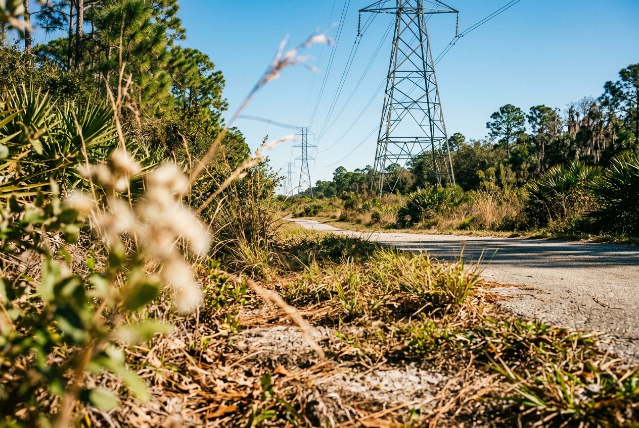
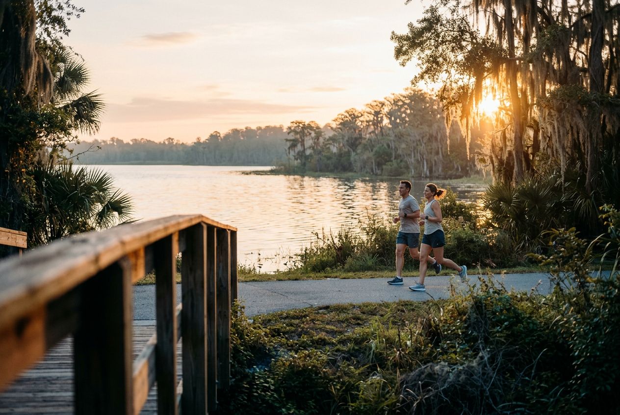
Despite its name, the powerline corridor here is a surprisingly beautiful natural area. The northern edge holds a lush wetland forest full of wildlife, offering a peaceful break from the city. A 3.4-mile loop through the wetland is a popular option, shared by hikers and cyclists. The regional trail also runs through wetlands, hardwood forests, and cypress swamps on smooth paved paths and boardwalks, where you may spot sandhill cranes and alligators.
Pelo caminho
1
Shingle Creek Regional TrailA flat 11.6-mile route through wetlands, hardwood forests and cypress swamps.
2
Pine Island East LoopA 3.4-mile loop through lush wetland forest, shared by hikers and cyclists.
A rota
Distância19.2 km
Ciclismo≈ 1 h 12
Subida↑ 6 m
RotaCircular
Uma rota circular de 19.2 km saindo de Williamsburg para pedalar, com 6 m de subida.
 Route