50 000 histoires n'attendent que toi. Lance-en une.
Parcours
Sur la carte
Chaque repère est un parcours, et chaque parcours est plein d'histoires.
Cycle the Shingle Creek Trail in Williamsburg.
90 langues
Touchez pour écouter des extraits
Convient pourVélo
Au bord de l'eauEn villeCampagnePlat et facile2 lieux en chemin
Des histoires étonnantes en explorant.
Touchez pour écouter des extraits
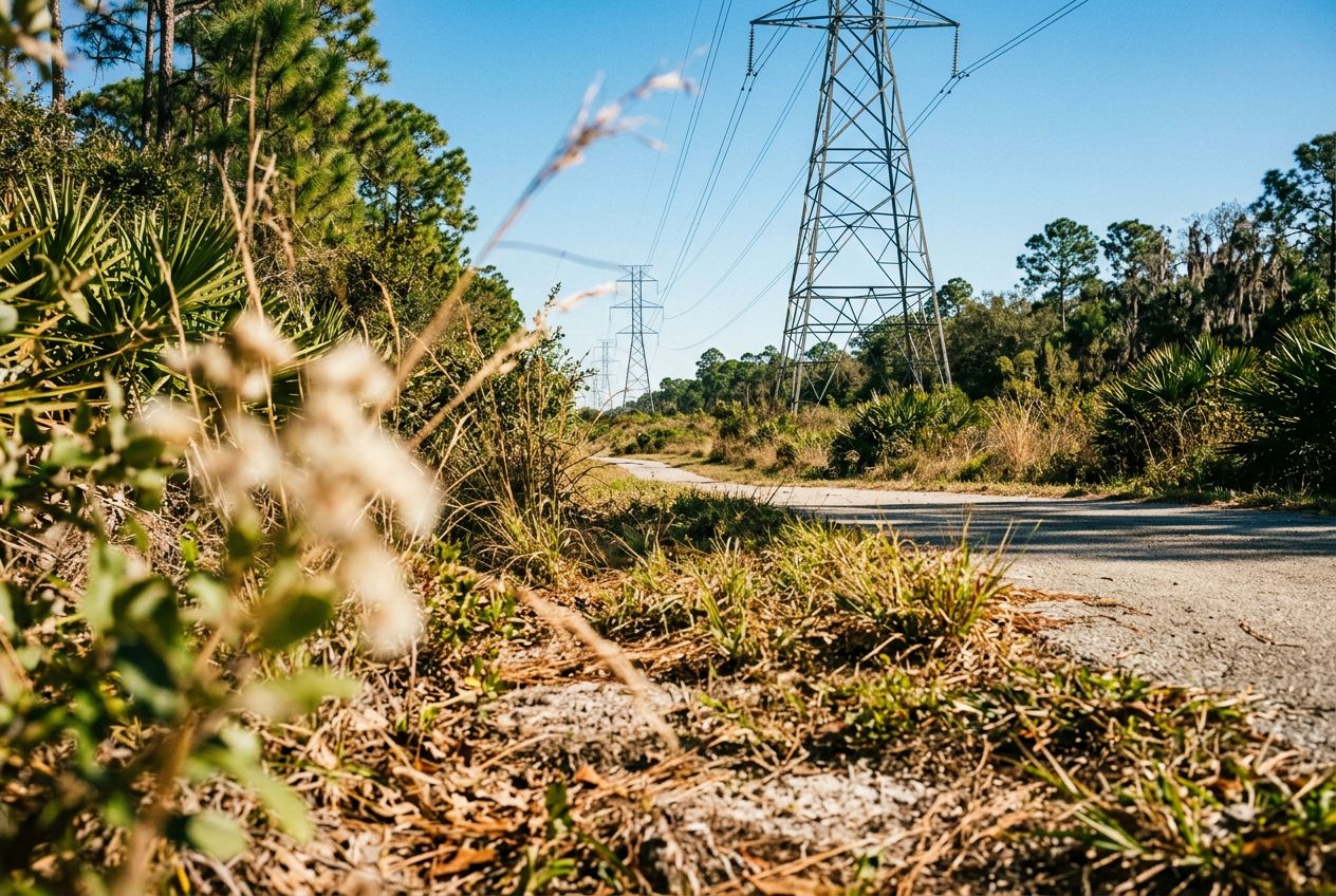
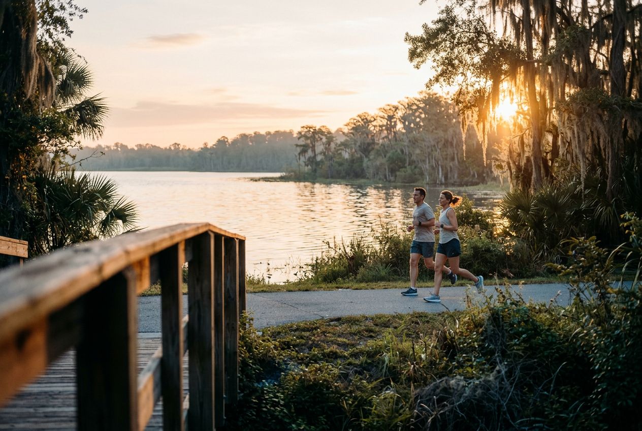
Despite its name, the powerline corridor here is a surprisingly beautiful natural area. The northern edge holds a lush wetland forest full of wildlife, offering a peaceful break from the city. A 3.4-mile loop through the wetland is a popular option, shared by hikers and cyclists. The regional trail also runs through wetlands, hardwood forests, and cypress swamps on smooth paved paths and boardwalks, where you may spot sandhill cranes and alligators.
En chemin
1
Shingle Creek Regional TrailA flat 11.6-mile route through wetlands, hardwood forests and cypress swamps.
2
Pine Island East LoopA 3.4-mile loop through lush wetland forest, shared by hikers and cyclists.
L'itinéraire
Distance19.2 km
Vélo≈ 1 h 12
Montée↑ 6 m
ParcoursBoucle
Un itinéraire circulaire de 19.2 km au départ de Williamsburg pour faire du vélo, avec 6 m de dénivelé positif.
 Route