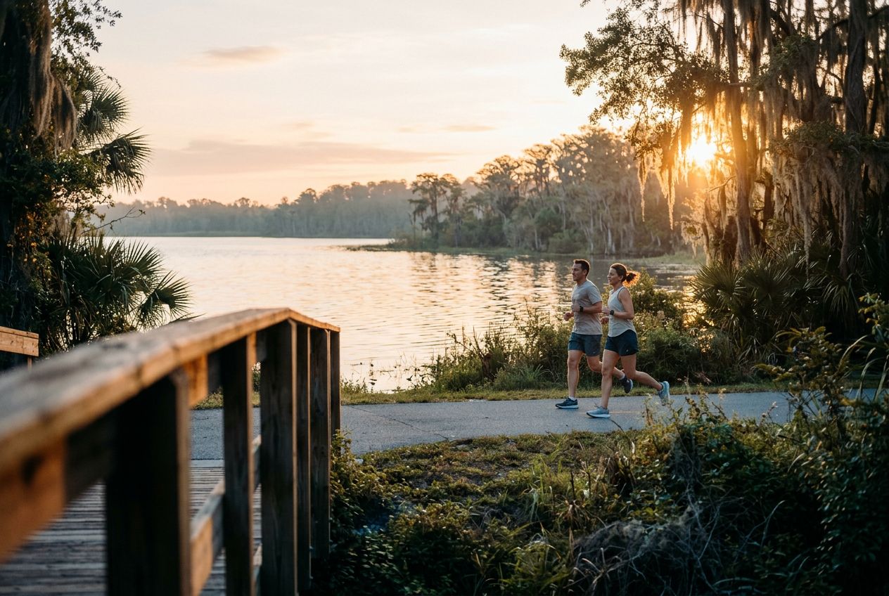
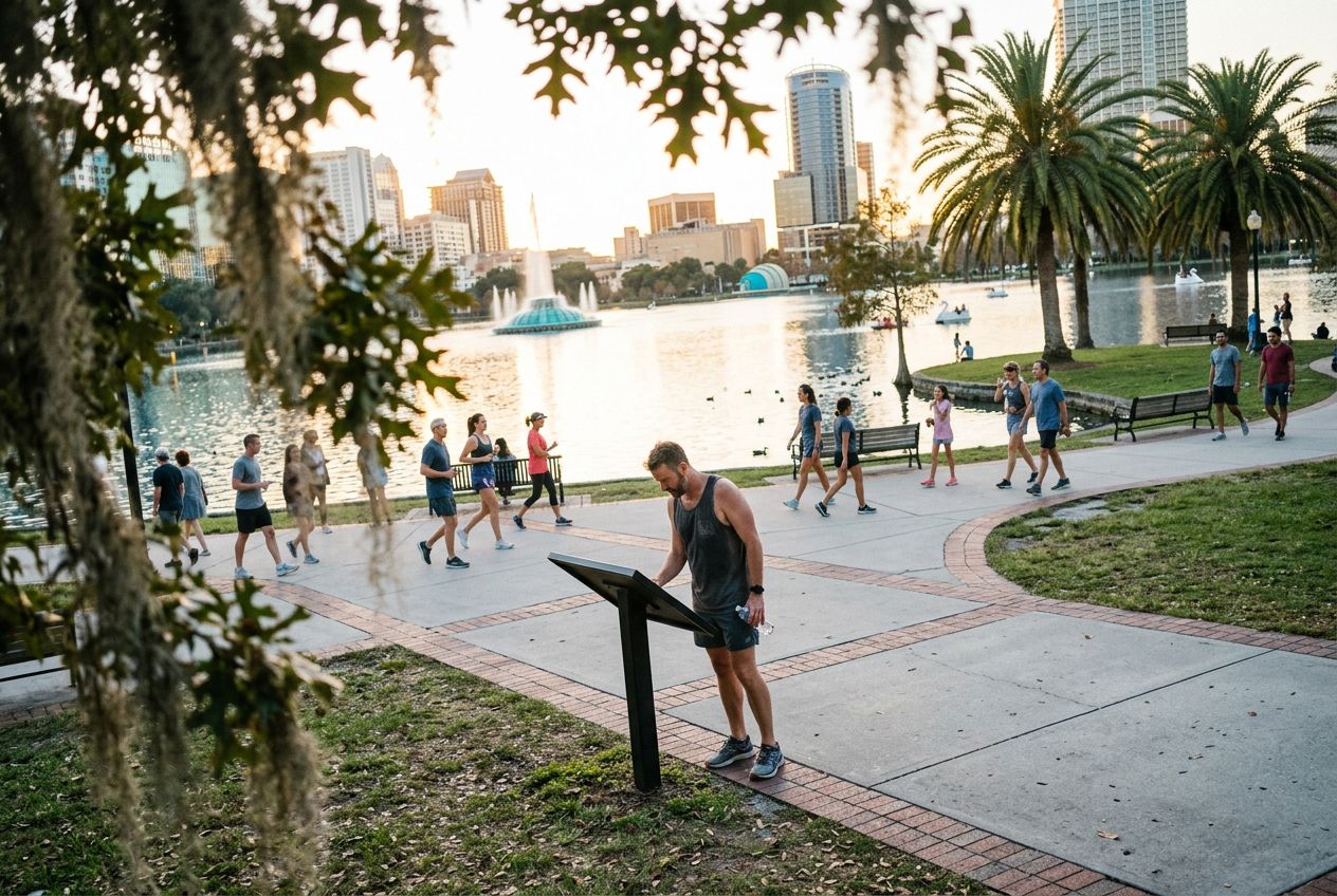
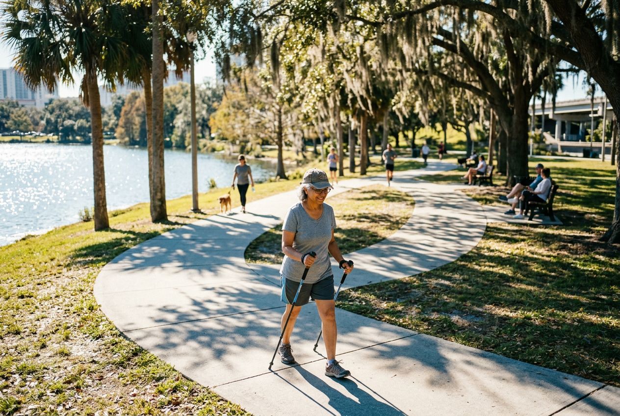
Shingle Creek Regional TrailA flat 11.6-mile route through wetlands, hardwood forests and cypress swamps.
ルートを聴く
5万の物語が待っています。ひとつ再生してみましょう。
ルート
地図で見る
ピンひとつがルートひとつ。どのルートも物語でいっぱいです。
 Route Stories
5万の物語が待っています。ひとつ再生してみましょう。
ピンひとつがルートひとつ。どのルートも物語でいっぱいです。




 90の言語




















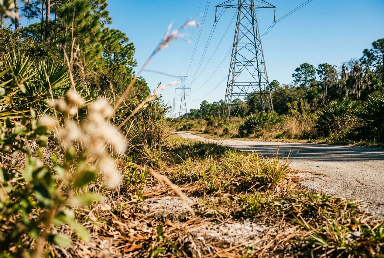
Despite its name, the powerline corridor here is a surprisingly beautiful natural area. The northern edge holds a lush wetland forest full of wildlife, offering a peaceful break from the city. A 3.4-mile loop through the wetland is a popular option, shared by hikers and cyclists. The regional trail also runs through wetlands, hardwood forests, and cypress swamps on smooth paved paths and boardwalks, where you may spot sandhill cranes and alligators.
Williamsburgから自転車で、周回ルートです。全長19.2 km、登り6 m。