50.000 storie aspettano di essere raccontate. Premi play su una.
Percorsi
Sulla mappa
Ogni segnaposto è un percorso, e ogni percorso è pieno di storie.
Cycle the Shingle Creek Trail in Williamsburg.
90 lingue
Tocca per ascoltare le anteprime
Adatto aIn bici
Lungo il fiumeIn cittàCampagnaPianeggiante e facile2 luoghi lungo il percorso
Storie straordinarie mentre esplori.
Tocca per ascoltare le anteprime
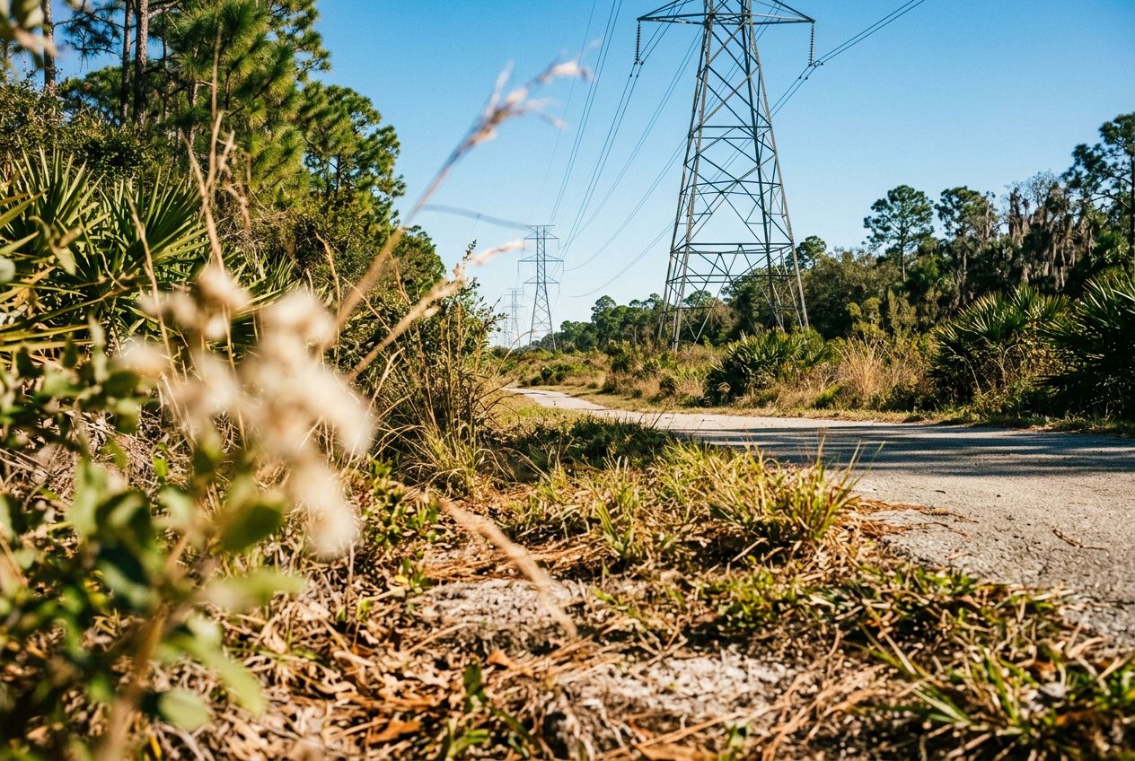
Despite its name, the powerline corridor here is a surprisingly beautiful natural area. The northern edge holds a lush wetland forest full of wildlife, offering a peaceful break from the city. A 3.4-mile loop through the wetland is a popular option, shared by hikers and cyclists. The regional trail also runs through wetlands, hardwood forests, and cypress swamps on smooth paved paths and boardwalks, where you may spot sandhill cranes and alligators.
Lungo il percorso
1
Shingle Creek Regional TrailA flat 11.6-mile route through wetlands, hardwood forests and cypress swamps.
2
Pine Island East LoopA 3.4-mile loop through lush wetland forest, shared by hikers and cyclists.
Il percorso
Distanza19.2 km
In bici≈ 1 h 12
Salita↑ 6 m
PercorsoAd anello
Un percorso circolare di 19.2 km da Williamsburg per pedalare, con 6 m di salita.
 Route