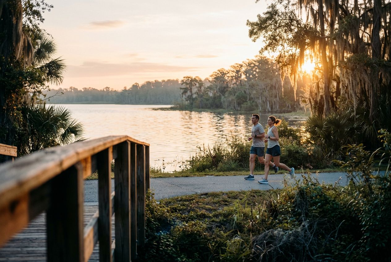
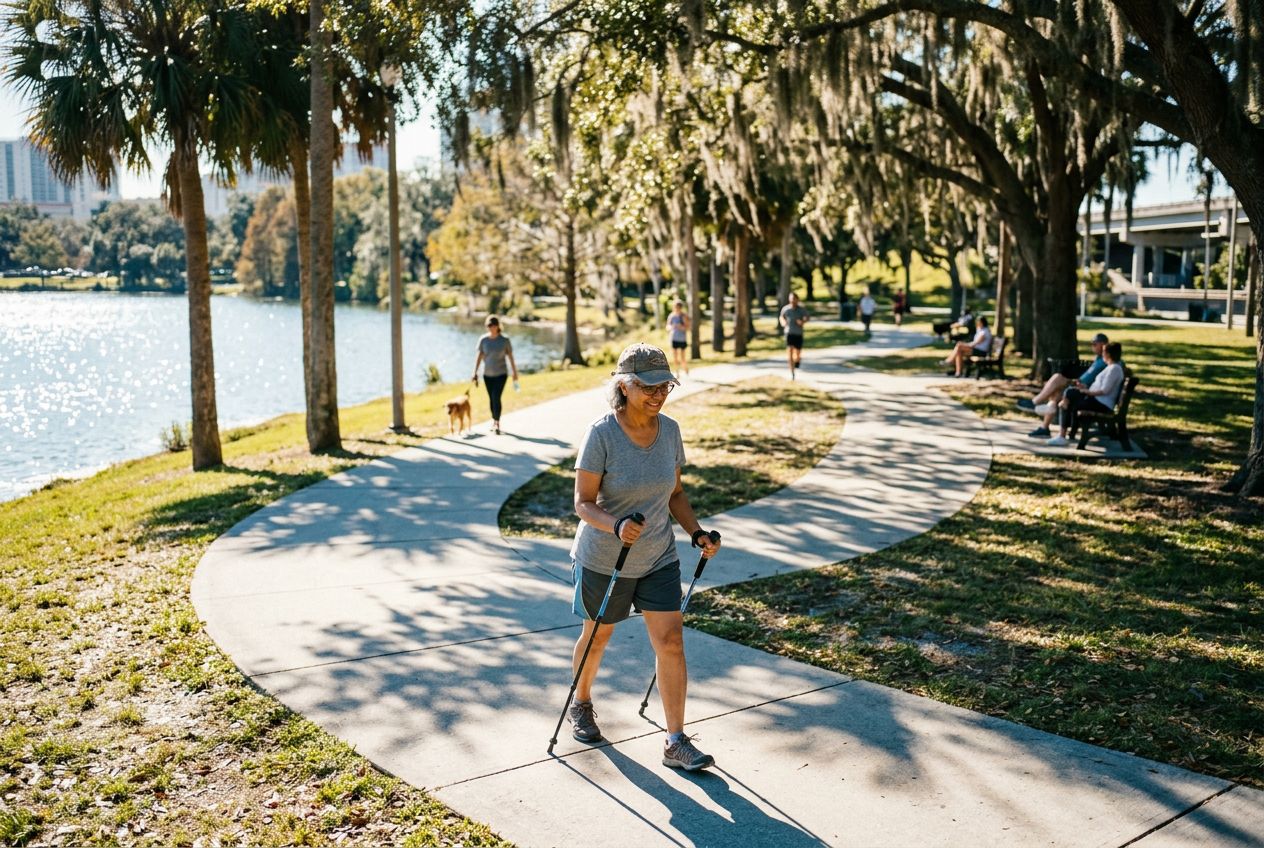
Shingle Creek Regional TrailA flat 11.6-mile route through wetlands, hardwood forests and cypress swamps.
听一条路线
5 万个故事等你来听。点一个播放吧。
路线
地图上看
每个图钉是一条路线,每条路线都满是故事。
 Route Stories
5 万个故事等你来听。点一个播放吧。
每个图钉是一条路线,每条路线都满是故事。




 90 种语言




















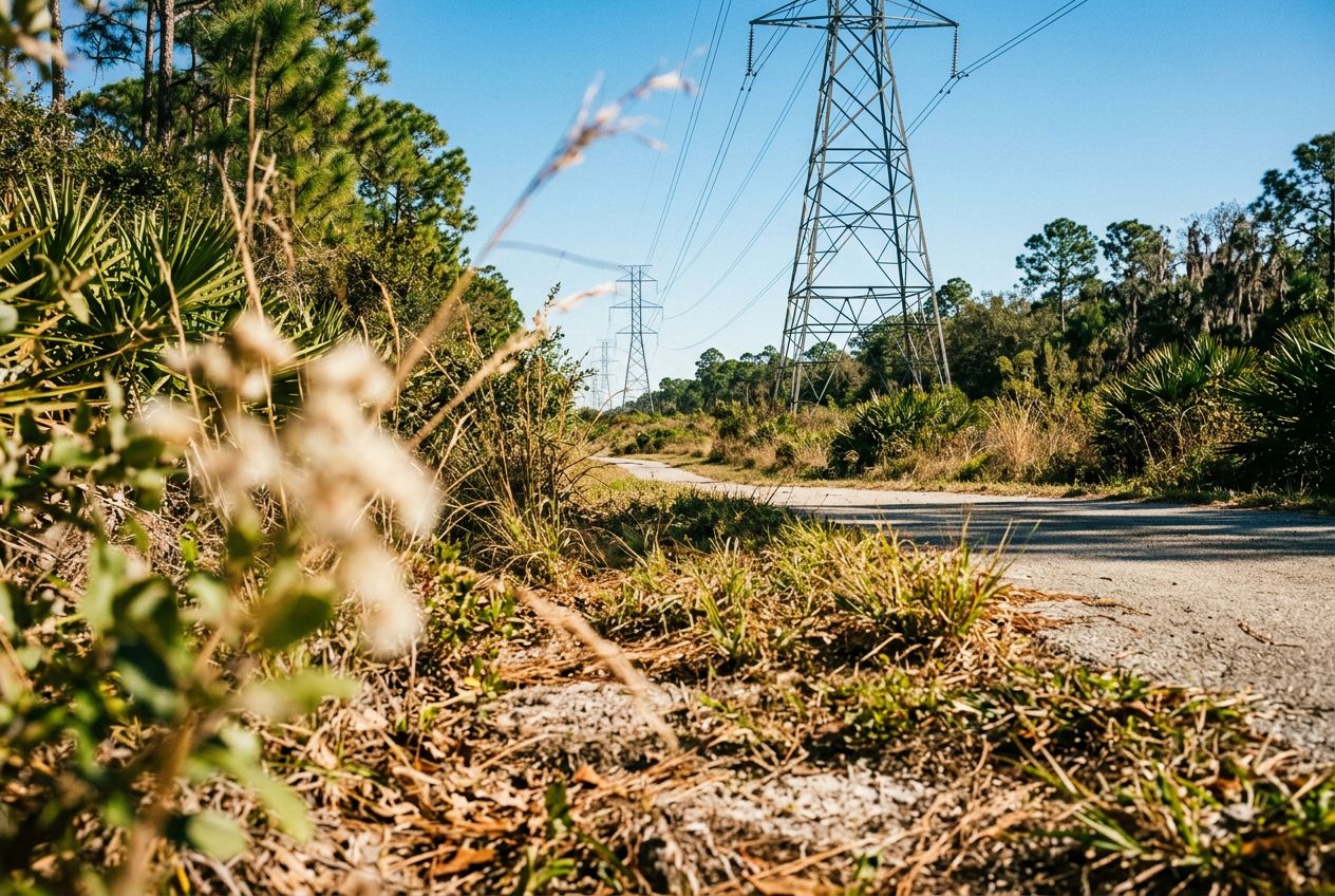
Despite its name, the powerline corridor here is a surprisingly beautiful natural area. The northern edge holds a lush wetland forest full of wildlife, offering a peaceful break from the city. A 3.4-mile loop through the wetland is a popular option, shared by hikers and cyclists. The regional trail also runs through wetlands, hardwood forests, and cypress swamps on smooth paved paths and boardwalks, where you may spot sandhill cranes and alligators.
从Williamsburg出发的一条19.2 km环形路线,骑行,爬升6 m。